
Alttabor
German: Alttabor // Gottscheerish: Autrtawr // Slovenian: Stari Tabor
Alttabor was located on a slope above the Črmošnjica Valley south of Wretzen, ranging in elevation between 606 and 620 meters. There is a spring near the site of the village.
Alttabor was not yet mentioned in the land registry of 1574, and so it probably developed later as a settlement founded under the Counts of Blagay. The village developed from a fortified camp built as protection against Ottoman raids. An 18th-century military map mentions only a deteriorating fortification at the site. In 1770 it had nine houses, but only one by 1931. The village reached its peak population of 43 in 1880, but by 1921 it no longer had any permanent residents. In 1936 five of the six houses in the village were in ruins, and a German family of five was living in one house. The remaining six inhabitants—the Johann Tramposch family—were evicted from the village on 10 December 1941; the sole house was burned by Italian troops during the Rog Offensive in August 1942. The entire site of the former village is registered as cultural heritage. The ruins of two structures remain.

Village Map & List of Names
| HOUSE # | HOUSE NAME | FAMILY NAME |
|---|---|---|
| // | Nicht bekannt | Florian Poreber |
| // | Unknown | Johann Tramposch |
| // | Unknown | Brinskelle |
| // | Unknown | Röthel |
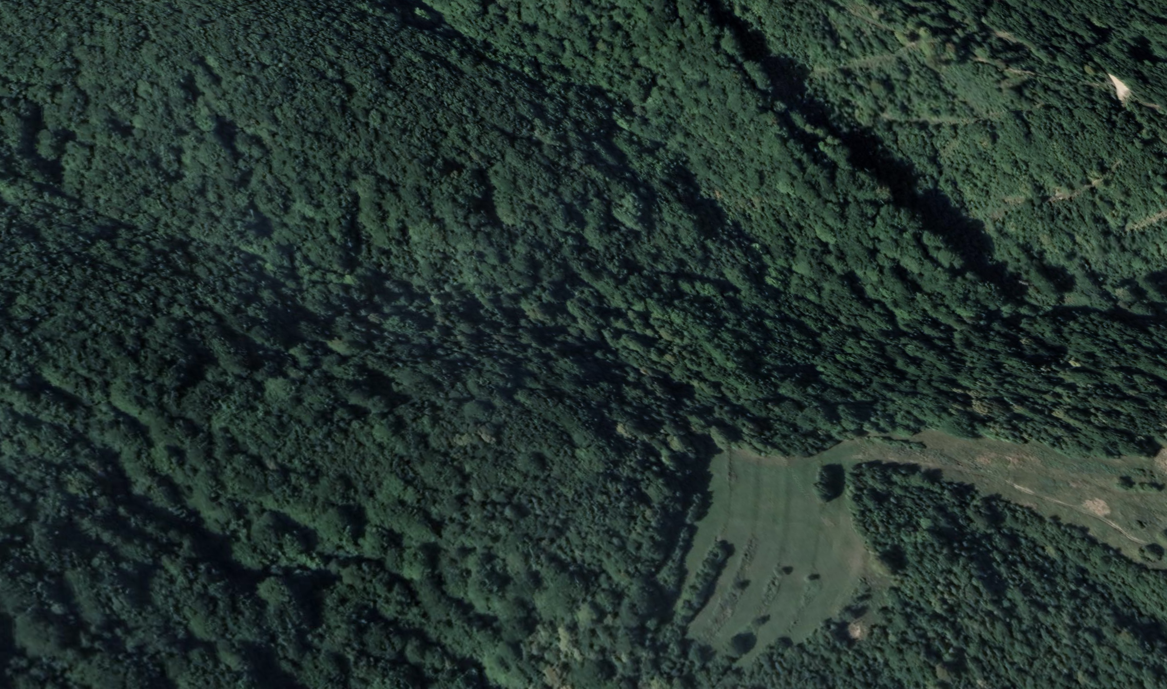
Aerial view of what Alttabor looks like today